Hike to Jorn Lake
Hike to Summit Lake
Hike to Mirror Lake
Hike to Jorn Lake
The hike to summit lake is about 6.5 kilometers from the Pacific Crest Trail access point on Oregon's hwy 20. In my opinion this hike is one the best hikes in the region, it’s relatively short, the overall ascent is low and the views are spectacular. However, the turnoff to summit lake was a little hard to find, but this keep traffic to summit lake low.
The hike to Mirror Lake is about 12 kilometers from the Two Pan trailhead in the Eagle Cap Wilderness of Northeastern Oregon. Eagle Cap reminds me of the Sierra Nevadas and the hike was so awesome it gave me a heart attack, for real. 12 kilometers into the wilderness I had a heart attack, and I walked out thinking it was altitude sickness.
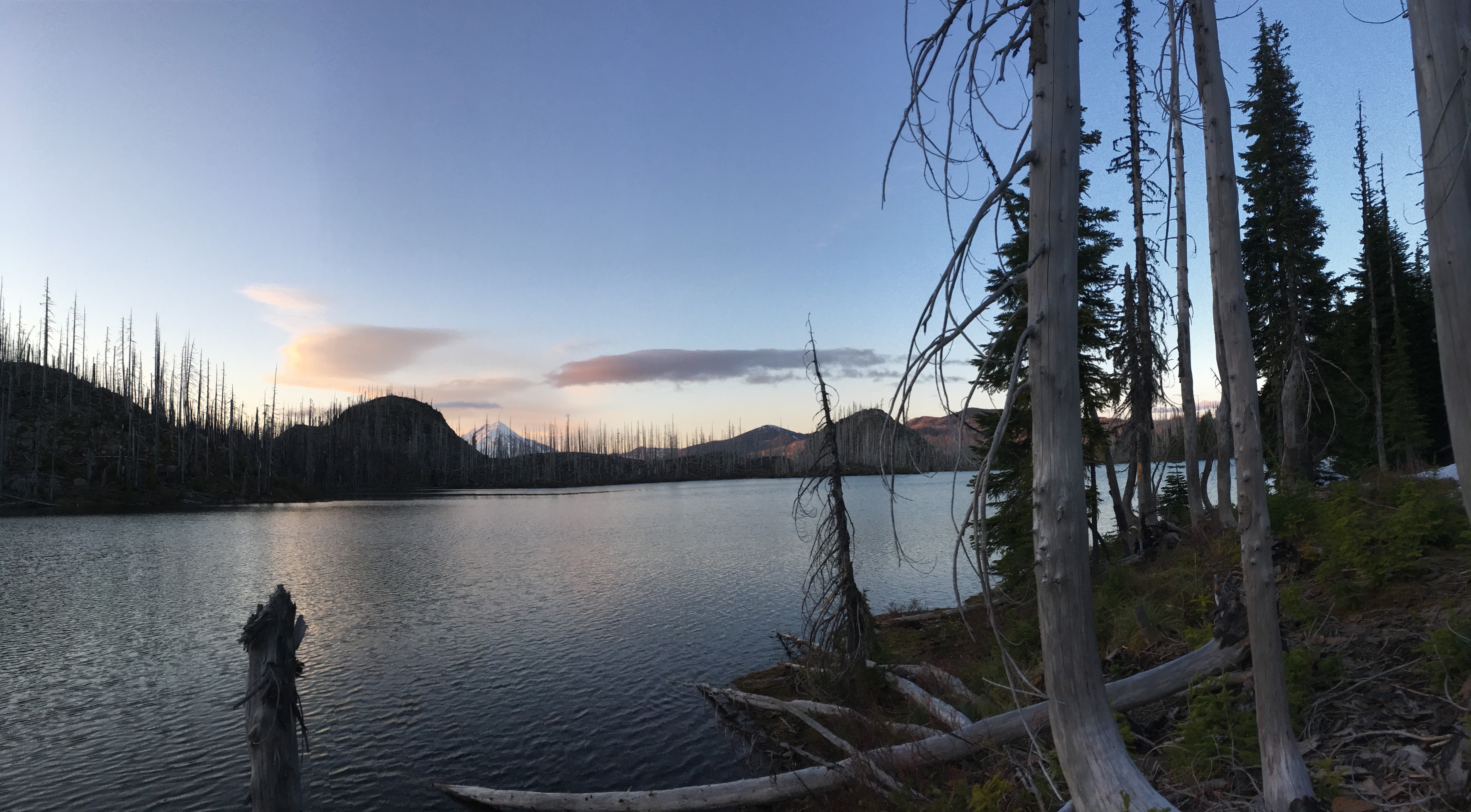
The hike to Lake of the Woods is a little over 8 kilometers into the Jefferson Wilderness in the Cascade Range of Oregon. It covers some of the same route we took on the Jorn Lake trip, but once we reached Marion Lake we headed northeast.
The hike to Jorn Lake is approximately 11 kilometers into the Jefferson Wilderness in the Cascade Range of Oregon. It's not a difficult trail when clear, but I advise that you contact the local forest service about trail conditions; we encountered down trees that made a large portion of the trail a jungle gym.
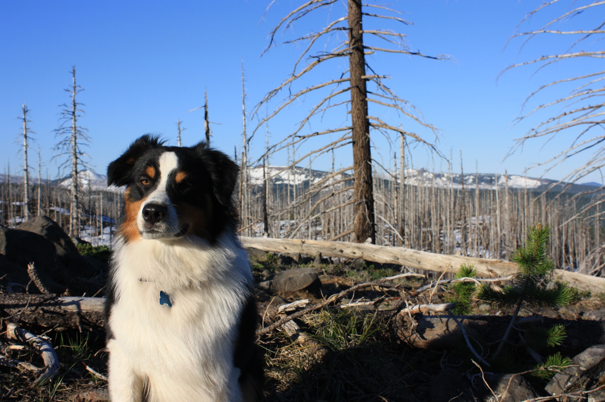
The purpose of this story map is to show and tell the adventures that my girlfriend and I go on with Finn the dog. Most of these trip so far have taken place in oregon, but I hope to expand them to the Pacific Northwest as time goes by. I'm an geology and geospatial scientists and I love combining technology and recreation to make maps of all kinds of things. This is really just another way to help me learn about web mapping and programing languages. It is also a great way to show fellow hikers an in depth view of these trails. The images are georeferenced to the markers on the map. That is, each image was taken at the coordinates represented by the hiker icon on the map. Each of these trails have been track by GPS (excpet the hike to Jorn like) with error not exceeding 9 meters so if you use the data keep that in mind. I’m going to create download links with GPX file so people can download the data to there own GPS receiver. This is a work in progress and continues to evolve, and I hope you enjoy it as must I do.